Longitudinal Soil Profile along Tunnel Route
|
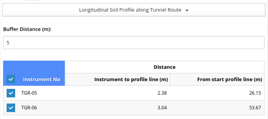
Input : Settlement instrument and distance of profile line |
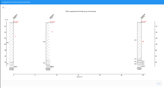
Output : Soil Profile along tunnel route from settlement instrument and profile line distance |
 |
x = distance (m) y = ground level (m) -> Grouped by geology code |

 English
  China
China  Japan
Japan 